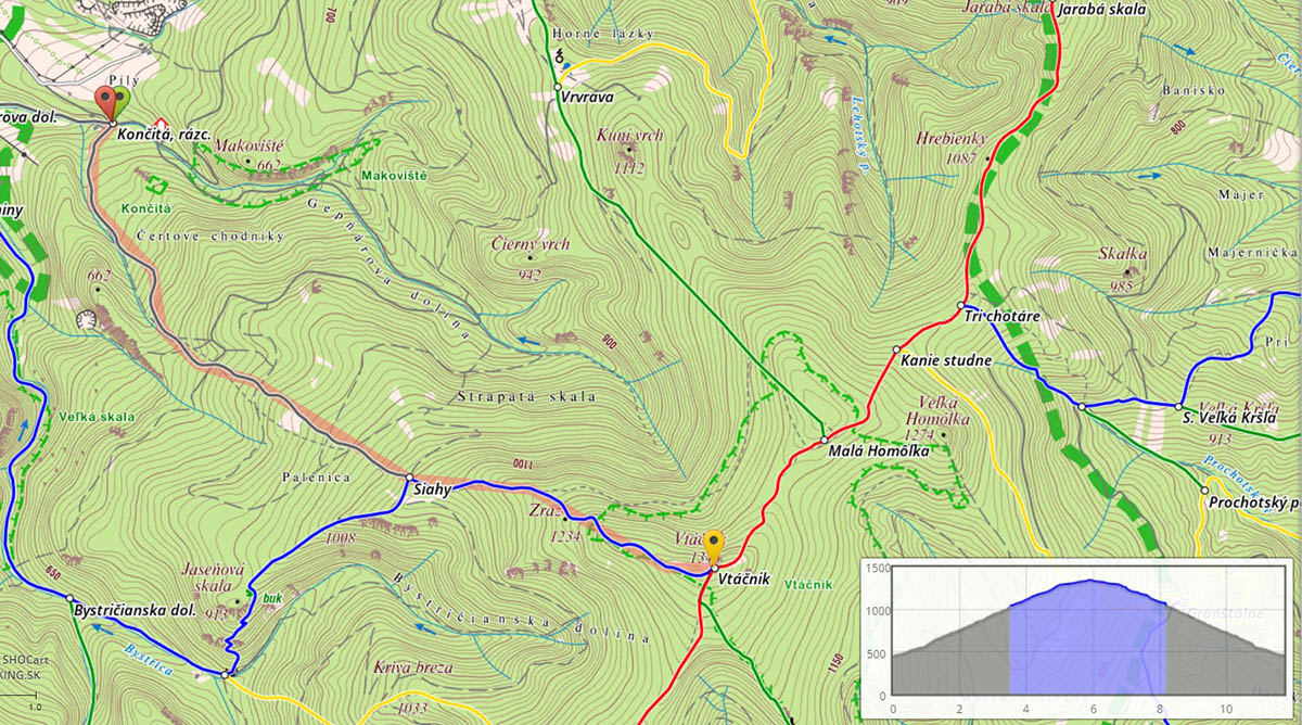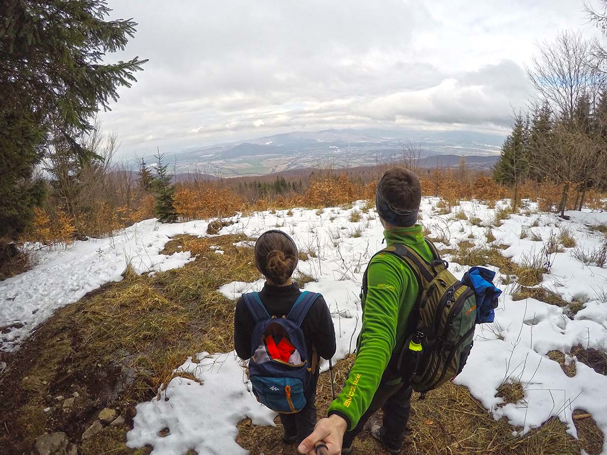
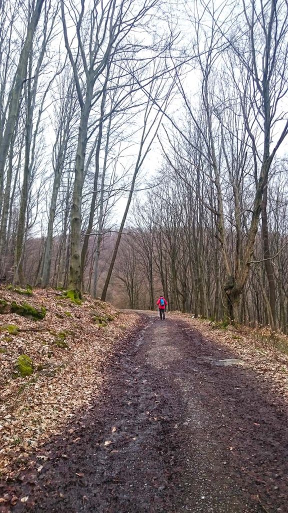
First sign of spring weather and temperatures around 15 degrees Celsius made me think of some hiking trip. This time I chose 1-day hike to Vtacnik, the highest peak of wider region where I live. It takes approx. 40 minutes to get to village called Kamenec pod Vtacnikom where you can park the car and start to hike. From the point where we started was no official trail which means no marks or colors, but there is just one way to follow. First 4 kilometers were very nice, decent without snow or cold. Everything changed after we reached blue trail which is above 1000 meters above sea level and forest was still covered with snow. Weather was suddenly chillier and I had to pull out my glows.

After whole 2 hours of hiking we finally met some people already going down. Two men stopped by and warned us that about 150 meters ahead might be a bear because they saw a lot of fresh tracks from bear which were not there during their way up. Told us good luck and left. I and Maria got so scared that we didn’t know what to do. We were so close to the peak that I started to walk towards those fresh bear tracks trying to make as much noise as possible to scare the potential bear away. One half was telling me to turn around and go down with those men, but on the other hand I really wanted to finish and get to the top of Vtacnik. Those men were right because after a few minutes of hiking we got to the place where we could see lots of fresh bear tracks. Our hearts were beating like an engine valve and adrenaline flowing in our veins. Constantly hitting my hiking poles into each other to make noise I was basically running uphill to get to the top as fast as possible.
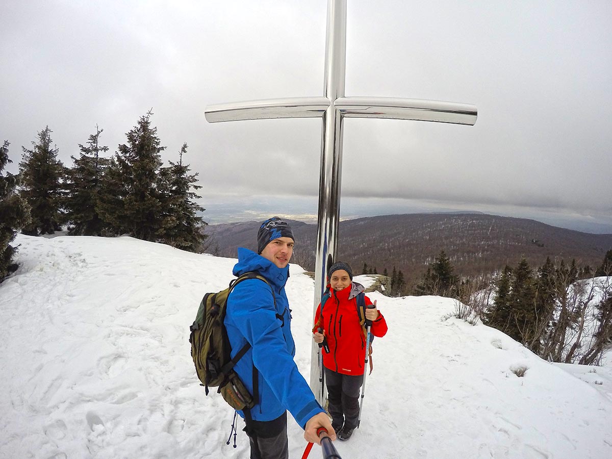
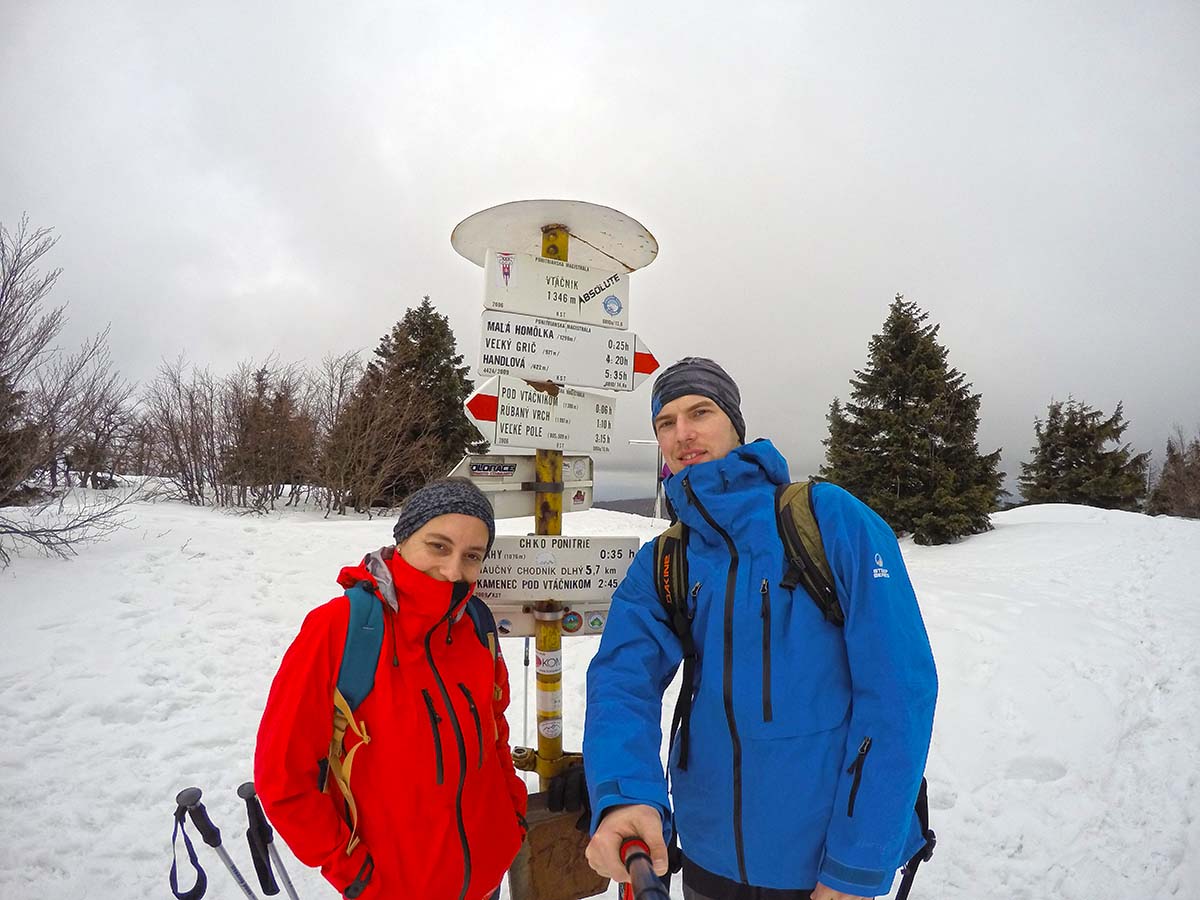
It was such a relief when we saw a group of 15 people walking up. After 25 minutes of adrenaline hike we reached the top of Vtacnik at 1.346 meters above sea level. Weather was not really that great like down there. There was a lot of snow and wind was very strong. Temperature around 0 made us feel pretty cold and we didn’t really enjoy the view that much. The only thing I could think about was how we were going down. We wanted to wait for that huge group of people to go back together but they were just too busy talking, eating and drinking some homemade alcohol. Since we were pretty cold after spending 30 minutes on the top of Vtacnik we started the descent. The way down is supposed to take approx. 2 hours and we made it in 1 hour and 15 minutes. We were running down like crazy. In this case we can’t talk about hiking but basically trail running. Thankfully we didn’t meet any bear and I hope we never do, but you never know.
Ascent: 886 meters
Descend: 886 meters
Distance: 11,8 km
Time: 4 hours